City
Kfar Saba
Central District · Israel
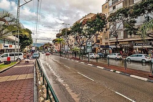
Not enough people have marked Kfar Saba yet for us to show numbers without singling anyone out.
About Kfar Saba
- Country
- Israel
- Region
- Central District
- Area
- 15 km2
- Rank
- 16th largest of the 274 places we track in Israel
- Population
- 101,432 as of 2020
- Coordinates
- 32.175, 34.907
Places to see near Kfar Saba
- Antipatris archaeological site · 8 km
- Arsuf archaeological site · 10 km
- Mount Gerizim mountain · 35 km
- Gezer archaeological site · 35 km
- Mount Ebal mountain · 35 km
- Jacob's Well archaeological site · 36 km
- Shiloh archaeological site · 38 km
- Ekron archaeological site · 44 km
More in Central District
- Rishon LeTsiyyon 25 km
- Petaẖ Tiqva 10 km
- Netanya 18 km
- Reẖovot 32 km
- Modi‘in Makkabbim Re‘ut 33 km
- Lod 25 km
- Ramla 28 km
- Ra'anana 3 km
- Rosh Ha‘Ayin 10 km
- Hod HaSharon 2 km
- Ness Ziona 29 km
- El‘ad 15 km