City
Pānihāti
West Bengal · India
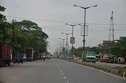
Not enough people have marked Pānihāti yet for us to show numbers without singling anyone out.
About Pānihāti
- Country
- India
- Region
- West Bengal
- Area
- 19 km2
- Population
- 377,347 as of 2011
- Coordinates
- 22.691, 88.374
Places to see near Pānihāti
- Dakshineswar Kali Temple temple · 4 km
- Belur Math monastery · 7 km
- Jorasanko Thakur Bari palace · 12 km
- Marble Palace palace · 12 km
- Cathedral of the Most Holy Rosary cathedral · 13 km
- Lok Bhavan palace · 14 km
- Fort William fort · 15 km
- St. Paul's Cathedral cathedral · 17 km
More in West Bengal
- Kolkata 14 km
- Howrah 14 km
- Durgapur 142 km
- Siliguri 447 km
- Āsansol 180 km
- Bhātpāra 20 km
- Maheshtala 24 km
- Shyamnagar 16 km
- Rajpur Sonarpur 29 km
- Kāmārhāti 2 km
- Kulti 195 km
- Barddhamān 82 km